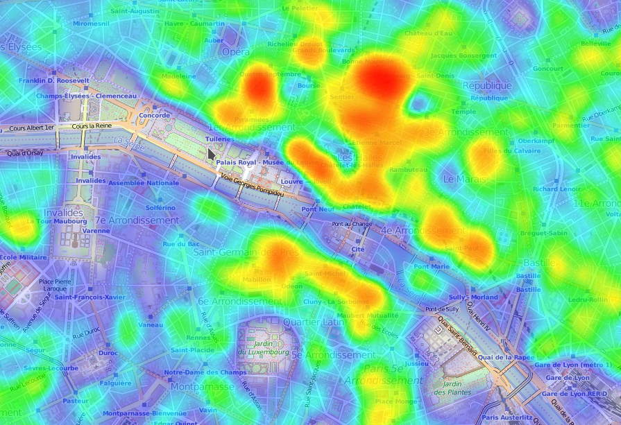
I thought it would be nice to create heatmaps from the Openstreetmap data (i.e. for displaying the areas lacking « addr:housenumber »). I created, OsmosisHeatmap (jar file, source), a plug-in for Osmosis (a command line tool for processing Openstreetmap data) that generates a JavaScript file with the coordinates, JS that can be used by the sample HTML page based on Leaflet and Leallet.Heat.
And it gives something like that: